[youtube=http://www.youtube.com/watch?v=VQsyPClwVj8]
Tuesday evening, MassDOT hosted an informational meeting at Shriners Hospital as part of its community outreach to provide details on the upcoming Longfellow Bridge reconstruction. Plans were initially introduced in February and MassDOT is working to ensure that the public is well aware of the disruptions for the next three years that will restore a regional landmark. Not everyone walked away happy from the meeting though, especially car-dependent locals and advocates of the cycling community.
The Longfellow Bridge is the only bridge in Massachusetts that carries cars, trains, and pedestrians across the Charles River and one of the oldest in the Commonwealth. Opened on my birthday 107 years ago, 3 August 1906, the bridge has been neglected for nearly a century as many of the Commonwealth's other bridges. It's a critical link in the region's transport network, carrying over 28 thousand autos each day and over three times that in Red Line passengers in addition to scores of pedestrians and cyclists who enjoy the picturesque views of Boston into Charles Circle.
The last time heavy work was done on the bridge was in 1959 and that rehab was only supposed to last 50 years. This reconstruction, scheduled to be completed in 2016 at the cost of over $255 million, should last 75 years and will bring some much-needed improvements to modernise the bridge, including wider pedestrian paths and wide, buffered bike lanes on both sides of the bridge. Sedimentation basins will even be installed at the ends of the bridge to catch and filter the rain runoff from the bridge, cleaning the oil-slicked water before it gets dumped into the Charles.
A significant amount of attention will be paid to the historical elements of the bridge, requiring the careful disassembly of various decorative bridge components, from railings to cladding, and hand-restoring them off-site. The masonry of the bridge's iconic towers will also be removed block-by-block for cleaning and restoration.
A new pedestrian bridge will also be installed next to the bridge to replace the existing bridge that spans over Storrow Drive to provide wheelchair accessibility from Charles Circle to the Esplanade. The bridge will be built adjacent the existing pedestrian bridge and will open in 2015.
But what about the bikes?...
Restoration is being handled by the joint venture of White, Skanska, and Consigli. All three are high profile engineering and construction contractors, but are any of them up to the task of managing pedestrian and bicycle infrastructure? White has built much of Boston's significant infrastructure projects, but most of those projects have been auto-oriented or large transit projects and none appear to have as much mode mixing as that at the approaches of the Longfellow Bridge. Tetratech will be providing traffic design for the project, but no experts in pedestrian or bicycle infrastructure design have been brought onto the project.
Bicycle advocates from MassBike and LivableStreets brought into question the approaches at the end of the bridge during construction for pedestrians and bikes and when those designs would be available for public comment. The engineers from the joint venture noted that during the final phase at 75% of design completion, there would be an opportunity for public comment, but this was only for the final bridge approach design. The group claimed interim plans for the bridge approaches already take into account public concerns about bike and pedestrian infrastructure, but they did not actually present how the approaches will look during each phase of construction, which was the focus of this informational meeting. '[The interim approaches] will be reviewed by public safety officials', said one of the presenters who later clarified those would include traffic engineers, fire department officials , and police officials, but not there will not be any opportunity for public input before construction begins.
And the cars?...
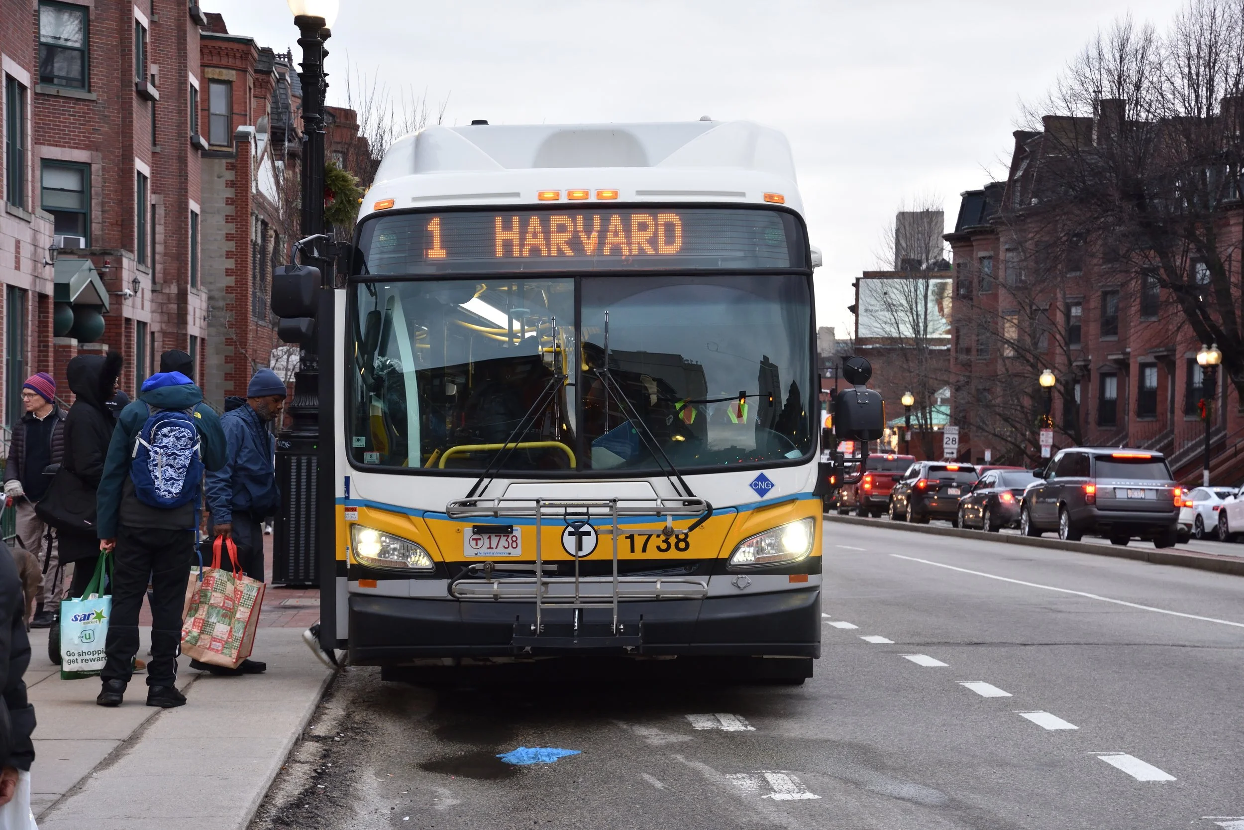
Another incendiary point of the evening was the fact that all Cambridge-bound traffic would be eliminated for all 3 years of construction. One Beacon Hill resident claimed the plan was 'incomprehensible', noting 'it’s a disaster lots of times just to get home' and further exclaiming it would significantly hinder her ability to leave the city, even with the planned detours over the adjacent Craigie Bridge. One alternate route was to direct traffic across the Harvard Bridge via Mass Ave to get to Cambridge, which as scoffed at by at least one attendee.
As a nation, we've been driving less month over month since 2004. Commissioner Thomas Tinlin of the Boston Transportation Department was there to assure her that traffic shouldn’t be as severe as she anticipates, considering the fact that stats barely flinched when one Cambridge-bound lane was closed on the bridge as a live test. Though not an official announcement, he suggested there was time before the actual bridge closure to do a live test of an entire Cambridge-bound bridge closure.
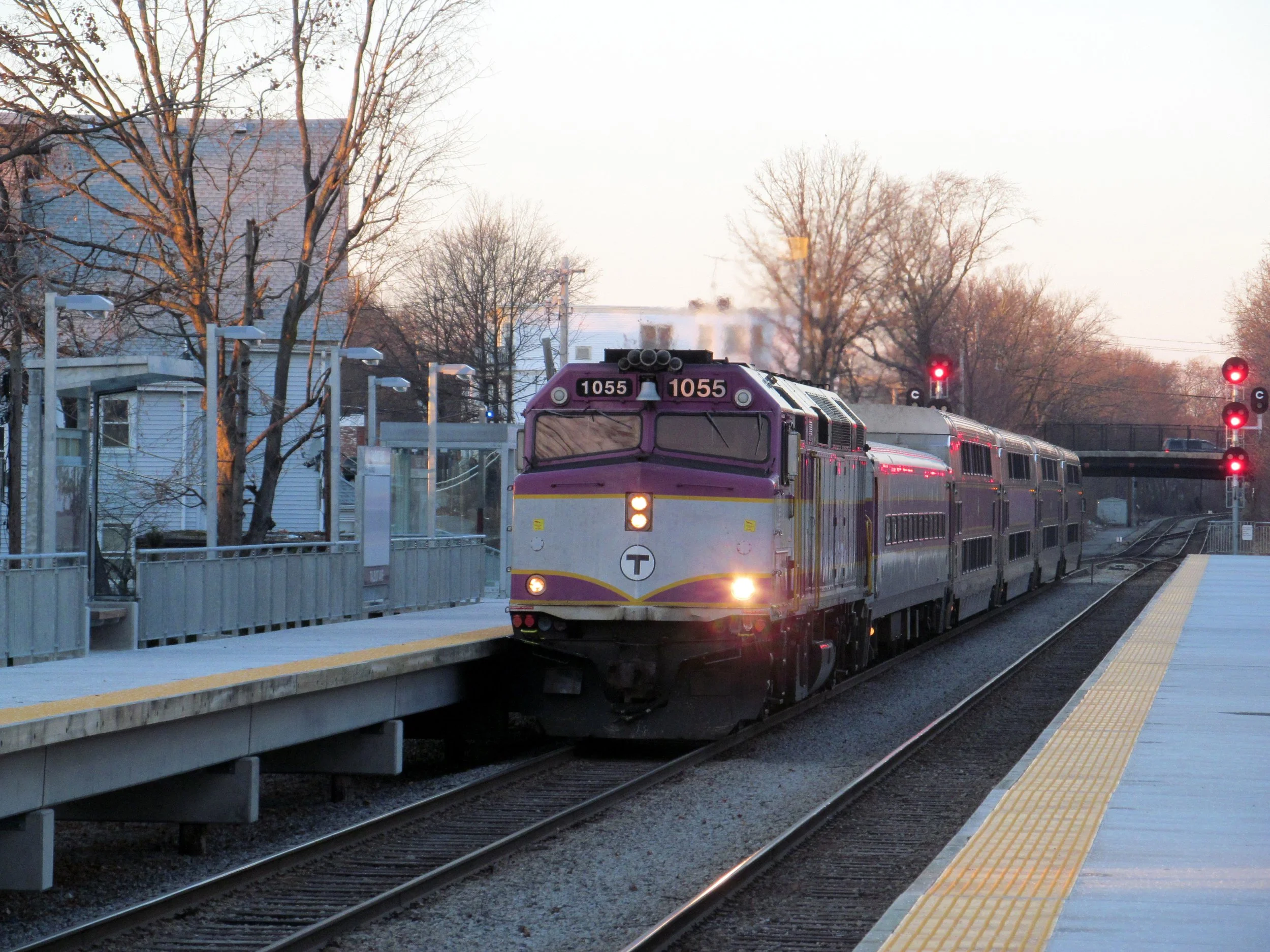
Through thick and thin, the trains will run (except for 25 weekends)
Despite auto lane closures and 25 planned weekend service diversions, the Red Line will still run in some shape or form. Dedicated bus lanes and an additional 20 buses purchased by MassHighway are planned to run during weekend service diversions per construction planning by the joint venture. Contrary to the plans noted by the Globe, the phasing appears to permit the weekend shuttles to run in both directions over the bridge instead of only one direction with the other routed over the congested Craigie Bridge. It's still up to the MBTA to determine how they'll manage the weekend service diversions and whether Red Line trains will run between Kendall and Park or Kendall and Charles-MGH.
There is a point where trains can cross over between Park and Charles-MGH so the latter is more likely since Charles would offer operations to run more like the terminal at Alewife, where trains can enter the station on either side and turn around and cross over to the correct track before reaching the next station. Let's hope for the shuttle to go between Kendall and Charles-MGH since past shuttles between Kendall and Park have been nightmares due to the number of lights and awkward routing between Charles-MGH and Park for shuttle busses.
Unfortunately for one gentleman who has lived adjacent Charles Circle for over 40 years, there's no relief in sight, including the 2 years of various phases where the Red Line will be running on temporary 'shoofly tracks' right on the road itself. The new bridge construction will not include any noise abatement walls along the tracks, so the people who live at Charles Circle won't get any relief, at least for the next 75 years.
Tuesday evening was one of the last meetings held by MassDOT before rehabilitation begins on the bridge this June.