Blue Line

Crawling Along: Introducing the Slow Zone Tracker

Crawling Along: Introducing the Slow Zone Tracker

Tracking Slow Zones on the MBTA

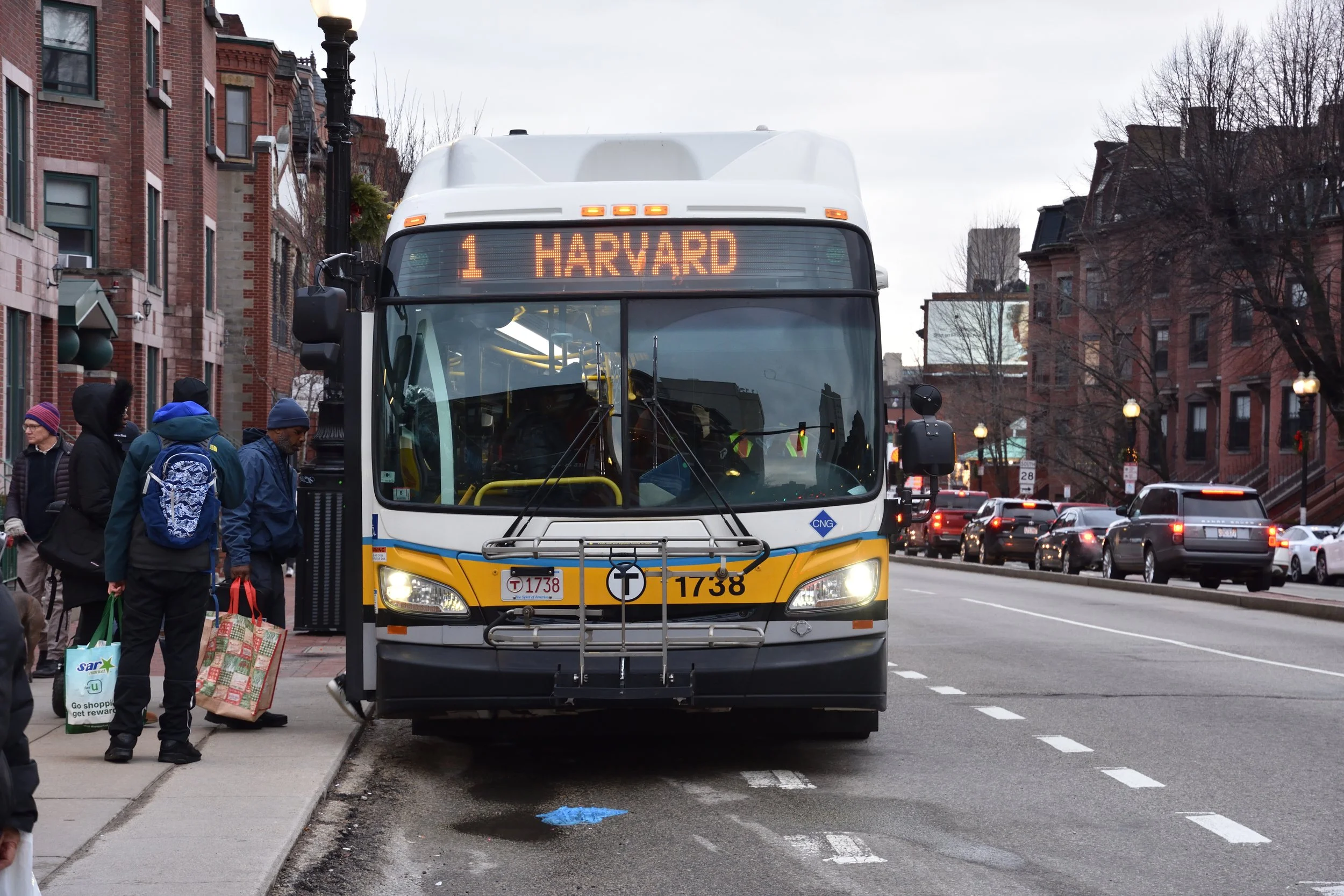
Do you ever find yourself sitting on a subway car that is just crawling along? Maybe you’re running slightly late already. And maybe you start to wonder… “Surely it hasn’t always been this slow. Is it just my train? Has it been like this the whole week? Is it getting worse?”

The TransitMatters Labs team is happy to announce a new tool that answers these questions. Our new Slow Zone Tracker makes it easy to tell when trains are running consistently slower than usual.

Slow zones on a rail line usually pop up due to infrastructure problems such as poor track condition, signal failure, or power issues. For example, StreetsblogMASS recently reported that the Orange Line has been given a lower speed limit in some sections due to deteriorating track conditions. And in 2019, for instance, the Red Line was severely delayed after the June 11 derailment took the signal system offline.

Our line graph gives a high-level overview of these sorts of systemic slow downs—how much time is being lost compared to how fast the trains theoretically could run? Is it getting better or worse over time?

Switching to the segment view allows you to dig in deeper: which pairs of stops are seeing delays, and how bad are they?

Clicking on one of the bars will take you to the data-dashboard page where you can see the data itself. In most cases, it will look something like this:

Or like this:

In some cases, severity may vary over time. Our algorithm looks at dwell times in addition to travel times, since waiting longer than usual at a station also counts as a delay. 

Our algorithm isn’t perfect, of course. If you notice any issues or want to send any other feedback, let us know at labs@transitmatters.org.


FAQ:

What is this?

This is a tool to help find and track slow zones. That is, areas where trains have lower-than-usual speeds due to track conditions, signal issues, or other infrastructure problems.

How do we calculate this?

We look at the daily median travel time + dwell time for each segment along a route. Whenever that trip time is at least 10% slower than the baseline for 3 or more days in a row, it gets flagged as a slow zone. Currently, our baseline is the median value in our data, which goes back to 2016. It’s not a perfect system, but various algorithmic improvements are in the works.

Why did we build this?

There’s power in data, but it’s only useful when you can tell a story. Slow zones are a nice story to tell: they tie our observable results to a cause. With so much data available, it can be difficult to find the interesting bits. So we’ve built this tool to help us locate and track this type of issue (slow zones), and monitor the severity over time.

How can you use this?

Share it. Bring the data to public meetings. Pressure the T to do better, but also give them credit where it’s due.

What about the Green Line?

Due to variable traffic, much of the Green Line doesn’t have consistent enough trip times to measure. As for the main trunk and the D line? Coming “soon”.

LivableStreets hosts a T-riffic night of T Trivia

WP_20130328_001 The turnout for this evening's LivableStreets first (hopefully annual, semi-annual, quarterly, or even monthly) T trivia night was on-par with what programming manager Kara Oberg had expected, but definitely filled the room on the lower level of Lir on Boylston St. On the evening's agenda: drinks, food, networking, and community-building.

'I just met these people an hour ago', said a student among a group that seemed to have known each other for years. The group, itself, a perfect mix of the attendees this evening: students, train enthusiasts, and professionals across every trade.

At the adjacent table, former LivableStreets board member, current Walk Boston board member, and graphic designer Nina Garfinkle sat with David Loutzenheiser, transportation planner of MAPC, and several others. A mix of who's who of transportation advocacy and trivia lovers, the event seemed like it was only missing a visit from MassDOT secretary Richard Davey and newly appointed MBTA GM Dr. Beverly Scott.

The trivia questions ranged from MBTA triviata to political and financial issues. One of the first round of questions included facts about the Boston's Green Line being the most heavily used light rail line in the US and the origin of the T's iconic logo of a 'T' in a circle.

WP_20130328_002Artie, a transportation engineer from HDR Engineering, brought in many of his friends to form his team. A designer of the very streets we walk, drive, and bike on or travel rapidly underneath, he was very 'new school' of those within transportation engineering, many of whom are notorious for taking an auto-throughput-first view of street design. Upon mention of 'sidewalk bumpies', he politely enlightened me of their more correct industry term: detectable warning pads. His consultancy work with the city of Boston and its outlying areas has even brought him into the engineering and design of innovative mid-block crossing notification strips for the visually impaired, a feature often not needed in or overlooked by most walkable American cities because of their lack of mid-block pedestrian crossings.

His most interesting insight was something that many miss when talking about re-urbanisation: I think that many disabled people will start moving into cities because of their ability to provide [the disabled] services and accessibility that suburbs simply can't provide in order to give them independence. In areas outside the T, mobility and independence can be very costly and time-consuming for the disabled, as shown by The Ride's growing costs and hurdles as compared to the rest of the MBTA's operations. Even as the fixed routes of the T have become more accessible, affording the disabled and elderly better independent mobility, other systems have been improving their accessible services, like the MTA in New York and the CTA in Chicago that have started piloting newer, more flexible vehicles designed specifically for accessible door-to-door transit services.

A number of student organisers from Northeastern were also present, including Justin Bensan, Daniel Morrissey, Alexa Torres, Jake Berman. The group is in the process of creating a 'transportation club' at Northeastern as a means of bringing forward mobility issues at their school and building a community around alternative transportation issues. Led by Jake Berman, president of the nascent club, and Justin Bensan, founder of the Northeastern branch of Students Against T Cuts, the group wants to build the club on the momentum from last year's unified protests against severe service cuts and advocacy of more balanced transportation funding.

WP_20130328_003

In the hopes that this might be a more regular event, I asked Kara about the next T trivia night. Of all the planning that had to come together for the evening, she noted the most time-consuming was coming up with all the trivia questions. That said, I challenge the state's decision-makers to come to LivableStreets' next T trivia night to see how much they actually know about the system that drives the economic engine of the Commonwealth.

Not everyone has to be a transportation expert or historian on the T, but without an appreciation for it, we may as well be blind to the T's funding problems as we would a spewing, backed up toilet.

Transit Construction During the Great 'Recession'

I'm currently killing some time before heading off to a discussion at the Museum of the City of New York on the challenges facing ongoing and planned transit construction projects in the New York City metro region during these trying economic times. Boston has it's own projects that have been stalled (or in an extended design and environmental review process) for quite some time until this most recent MassDOT/MBTA Board of Directors meeting: the Orange Line infill station at Assembly Square, the Green Line Extension to Route 16 (the current project only extending to College Avenue, one stop shy of the legal requirement for the project to reach Medford), the Blue Line extension to Charles-MGH, further Blue Line extensions beyond Wonderland, drafting and design of new Red and Orange Line cars.

Thinking on that and a political comic from 1938 on the then titled 'recession' that I came across at the MCNY, infrastructure investment has always proven to be a means of driving economic recovery by putting people back to work and providing improved mobility for commerce during down economic times and after economic recovery.

The Obama administration is two years late in offering such a solution, instead having opted to deal first with the politically unpopular healthcare reform he initially promised during his campaign. Nevertheless, the Obama administration, the Federal DOT, and Transportation Secretary Ray LaHood have outlined a budget for a more 'balanced' transportation budget, improving the budget ratio between transit and roads from 20:80 to 24:76.

Even more unfortunately, the mass transit funding debate often gets overshadowed by the high speed rail funding debate, the latter of which is currently being played out on the national political stage with sweeping action and unfortunately dramatic rejections of funding. Within mass transit funding, there are significant issues between expanding service and improving network access within cities, the former enabling more suburban settlement farther from city centers and the latter strengthening networks within cities and making them more resilient to network failures (i.e. medical emergencies, police activity, and disabled trains).

Will we 'win the future'? Maybe. But we've already lost a lot of time and money propping up companies rather than the physical infrastructure that enables us to live, work, and play.